Tropical Storm Franklin Drenches the Yucatan Peninsula
Tropical Storm Franklin was about 85 miles northwest of Chetumal, Mexico, and about 95 miles southeast of Campeche, Mexico. Maximum sustained winds were 45 mph with higher gusts. It's moving west-northwest at 14 mph.
As of 7 a.m. Tuesday, Tropical Storm Franklin was about 85 miles northwest of Chetumal, Mexico, and about 95 miles southeast of Campeche, Mexico. Maximum sustained winds were 45 mph with higher gusts. It's moving west-northwest at 14 mph. (Image via National Hurricane Center)
Tropical Storm Franklin on Tuesday morning (Aug. 8) was moving over the Yucatan Peninsula and beginning to weaken, the National Hurricane Center said. However, the storm is expected to re-strengthen once it reaches the Bay of Campeche this evening.
As of 7 a.m., Tropical Storm Franklin was about 85 miles northwest of Chetumal, Mexico, and about 95 miles southeast of Campeche, Mexico. Maximum sustained winds were 45 mph with higher gusts. It's moving west-northwest at 14 mph.
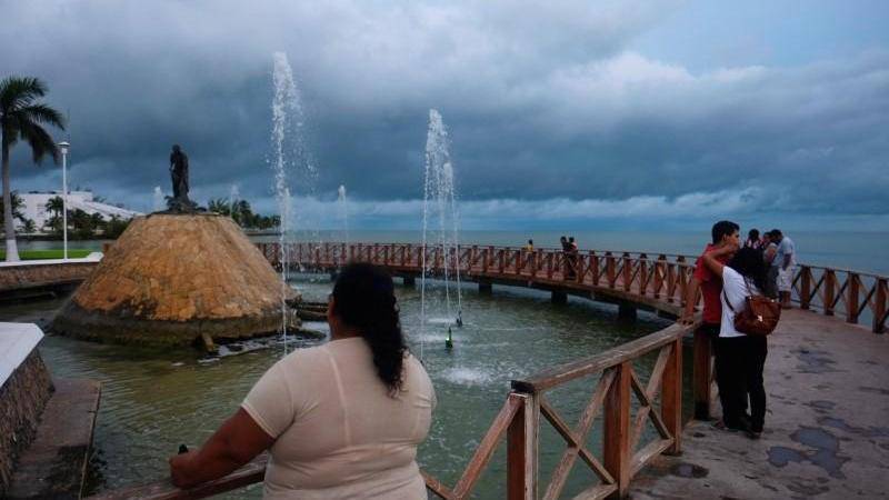
Rainfall amounts of 3 to 6 inches, with isolated amounts of about 12 inches, are possible across the Yucatan Peninsula of Mexico and Belize through Wednesday, with the highest amounts over the Mexican state of Quintana Roo. Cancun, Playa del Carmen and Tulum are in Quintana Roo.
In addition, Franklin is expected to bring 4 to 8 inches of rainfall with isolated amounts up to 15 inches through Thursday to northern Veracruz, Puebla, Tlaxcala, Hidalgo and eastern San Louis Potosi in eastern Mexico. These rains will be capable of producing life-threatening flash floods and mudslides.
A hurricane watch is in effect for the coast of Mexico from Puerto de Veracruz to Rio Panuco. A tropical storm warning is in effect for the coast of Mexico from Chetumal to Sabancuy.